Maps
We are having technical difficualties with the system that displays some of the maps below. We hope to resolve the issue soon.
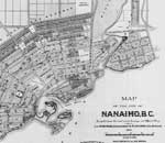
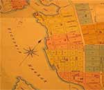
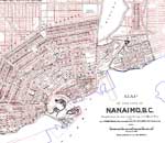
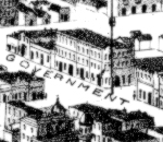
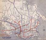
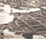
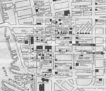
The 1884 map, the 1885 fire insurance plans, and the 1889 "bird's eye view" of Victoria can be used in conjunction with census data and directory listings for the capital city. The 1891 Honeyman map of Nanaimo augments census records, directory listings and tax assessment data for that city. The other images posted here provide examples of different kinds of historical maps.
A map viewer is also available, which will let you
explore the available maps in various ways. For example, you can view two maps of
the same area in different years side by side and see how things changed over time.
The map viewer displays very large maps, so you should maximize your browser window
to see as much as possible. Some of the images below are also linked to the map
viewer, so clicking the image will immediately display the map in the viewer. To
use the various map display options, you should start on the
map viewer introduction page. Additional maps, not
shown below, are available in the viewer.
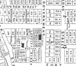
Fire Insurance Plans
Fire insurance plans were drawn to a scale of 50 feet to the inch (relative scale 1:600).
Streets and buildings in Victoria are shown in extraordinary detail in these plans.
Maps for 1891 are available in the map viewer.
Maps for 1895, 1903, 1911 (revised 1913) and 1913 (revised 1916) are available at the University of Victoria Libraries Digital Collections  .
.
|
Victoria City
Centre Blocks & Lots |
Nanaimo, 1891 |
||
|
Fire Insurance Plans of Victoria, 1885 |
Nanaimo City 1891 & 2003 |
||
|
Victoria City Centre 1889 PDF |
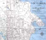
Victoria, c. 1939 |
||
|
Victoria, 1889 |
Victoria, c. 1947 |
||
|
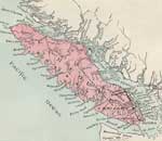
Vancouver Island, c. 1913 |
Victoria, 1953 |
